
Dot the Earth Interactive LDS Temple Map & Tracker
Dot the Earth is the premier interactive LDS temple map and companion app designed to help you explore, track, and learn about temples of The Church of Jesus Christ of Latter-day Saints worldwide. Find temples on our interactive global map, calculate distances, track your visits, and discover educational resources—all in one beautiful app.


Why Members & Families Love Dot the Earth
Interactive Temple Map & Distance
Explore temples on an interactive LDS temple map, calculate exact driving and air distances from your location, and find nearby temples using AR.
Personal Visit Journal
Keep private journal entries of spiritual impressions, log visits, and track family vs. temple file ordinance history over time.
Youth & Family Games
Engage youth and Primary children with temple trivia quizzes, matching challenges, slide puzzles, and pin-the-temple map games.
1830 to Present Timeline
Watch history unfold chronologically as temples spread across every continent through animated global milestone timelines.
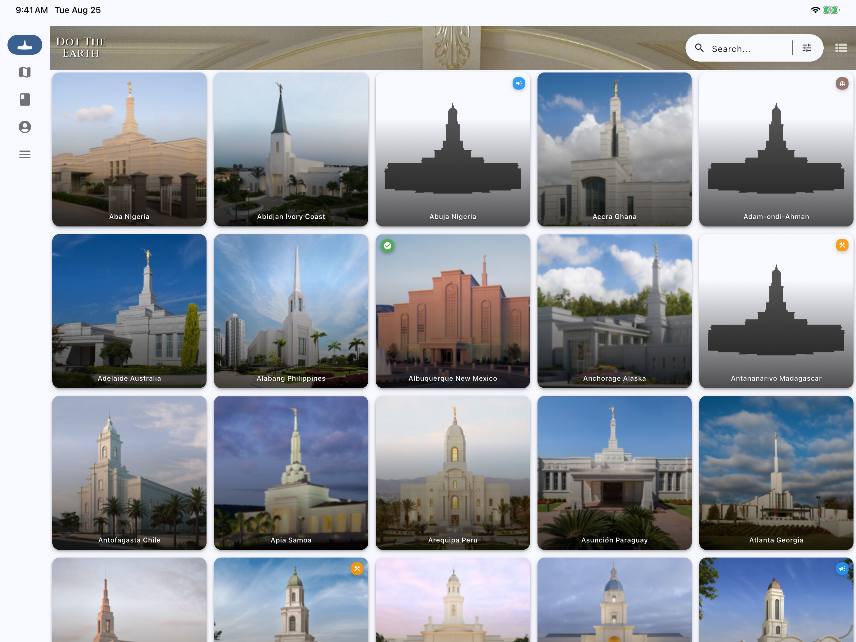
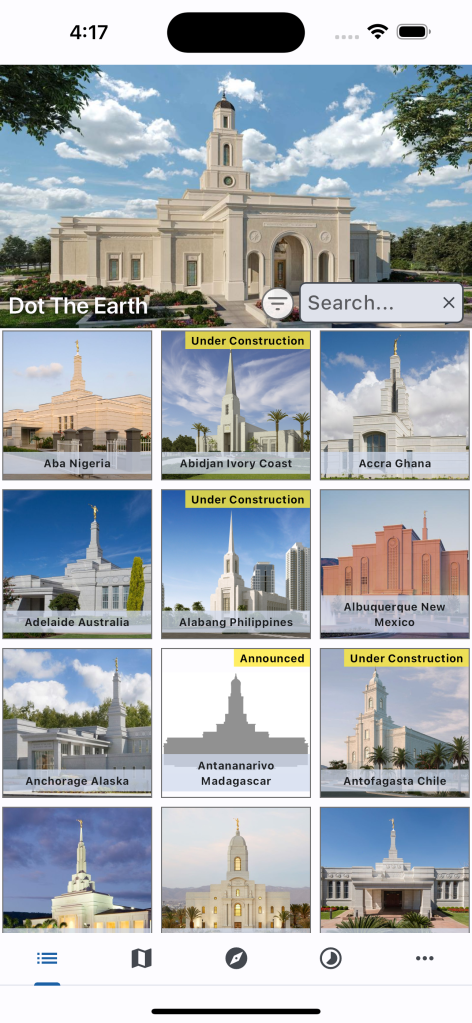
List View
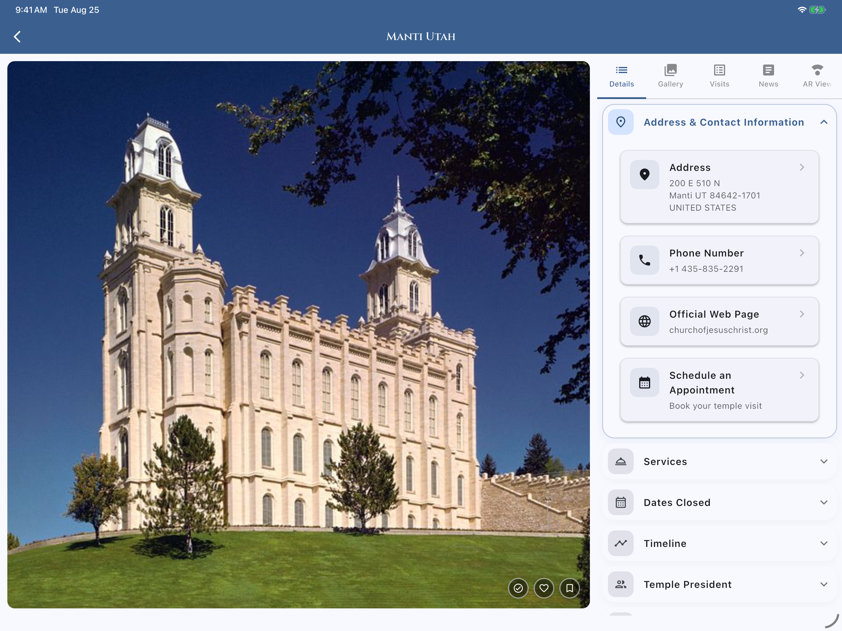
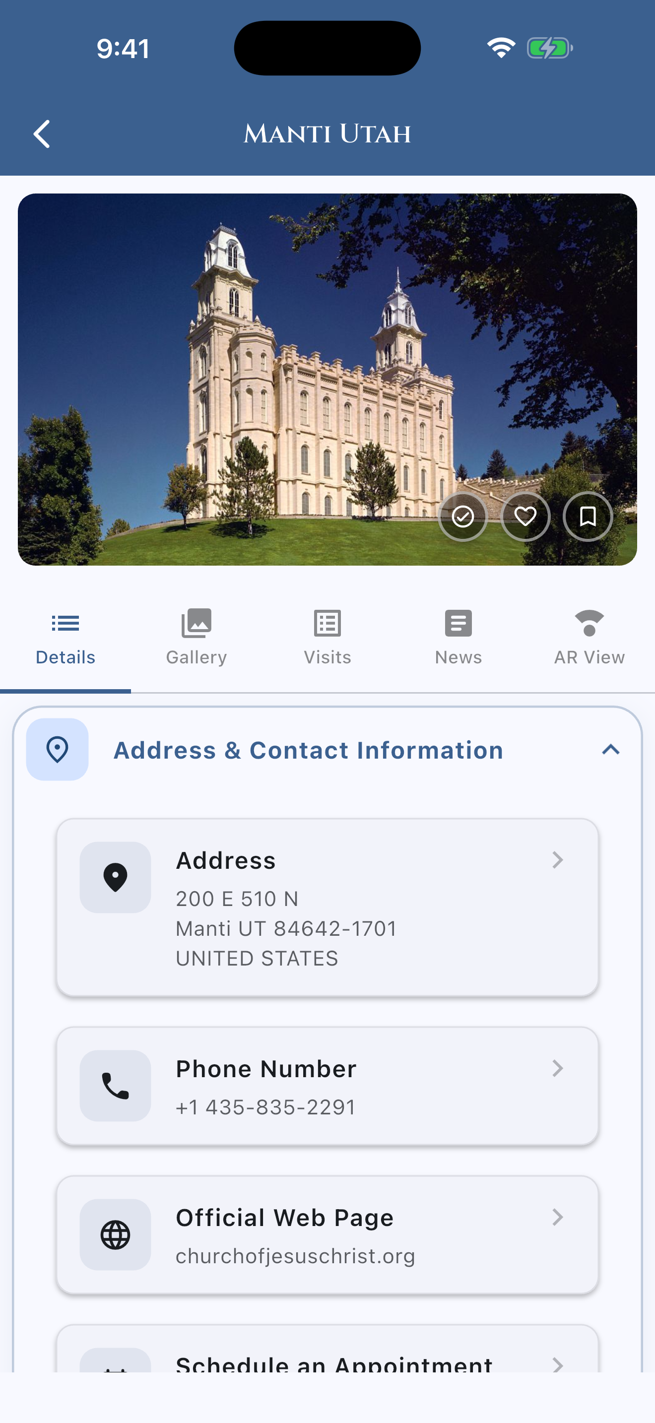
Here you can scroll through or search for all the Temples that are dedicated, under construction, or announced. By clicking on a Temple, you can see contact information, the Temple’s timeline, a public gallery, and a place to log any visits and record thoughts.
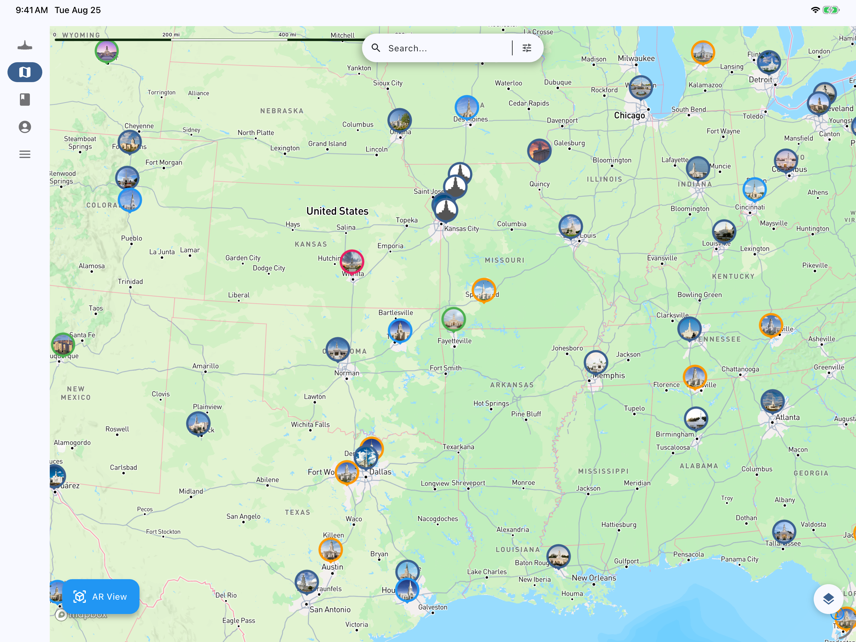
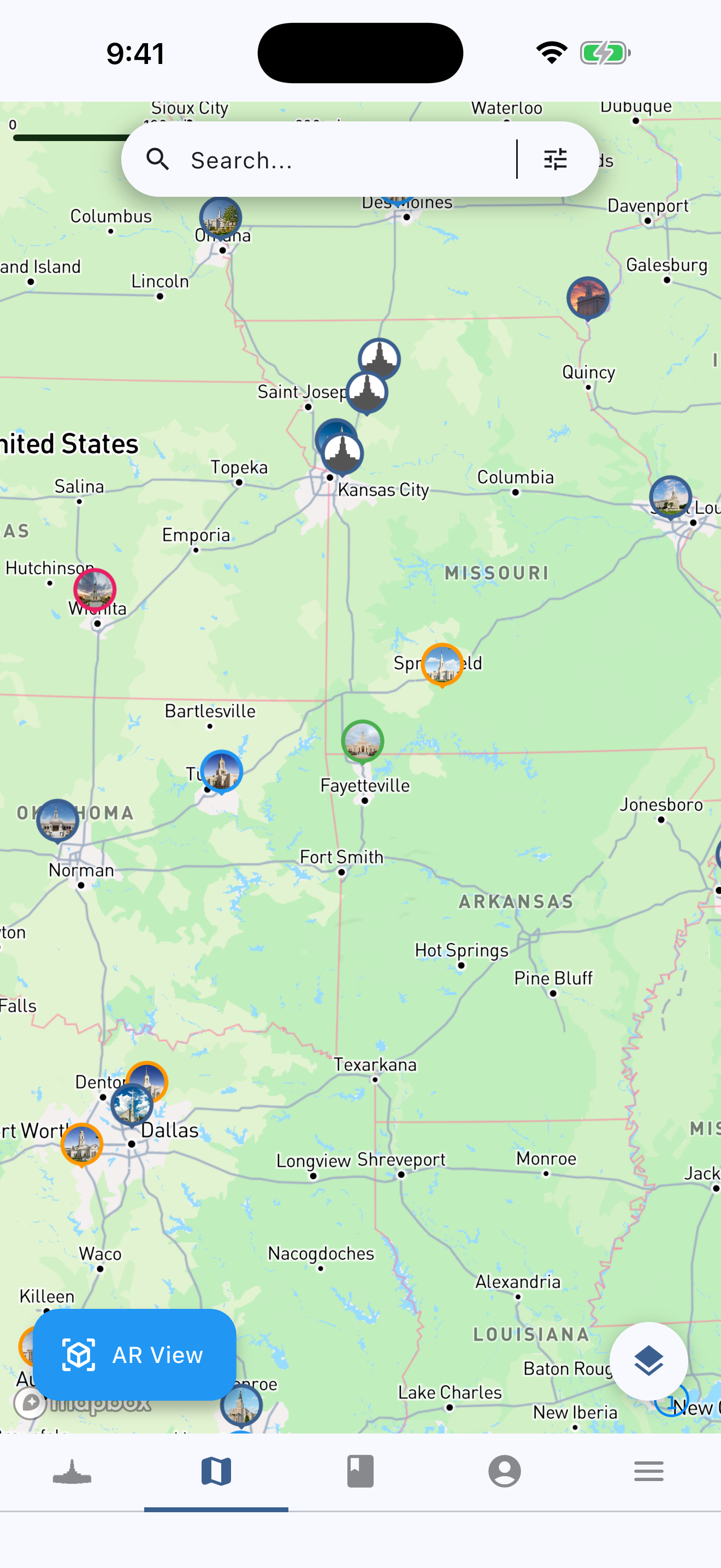
Interactive LDS Temple Map
Explore every dedicated, under-construction, and announced temple of The Church of Jesus Christ of Latter-day Saints on our interactive global map. Tap any temple marker to zoom in, view operating status, calculate driving and air distance from your current location, browse photos, and record personal visits.

Camera View
In this simple augmented reality view, you can see where temples are relative to you and your surroundings. As you rotate and turn, the nearest temples will appear, their orientation can be seen in relation to you and what direction you are pointed, and the distance to those temples will show.
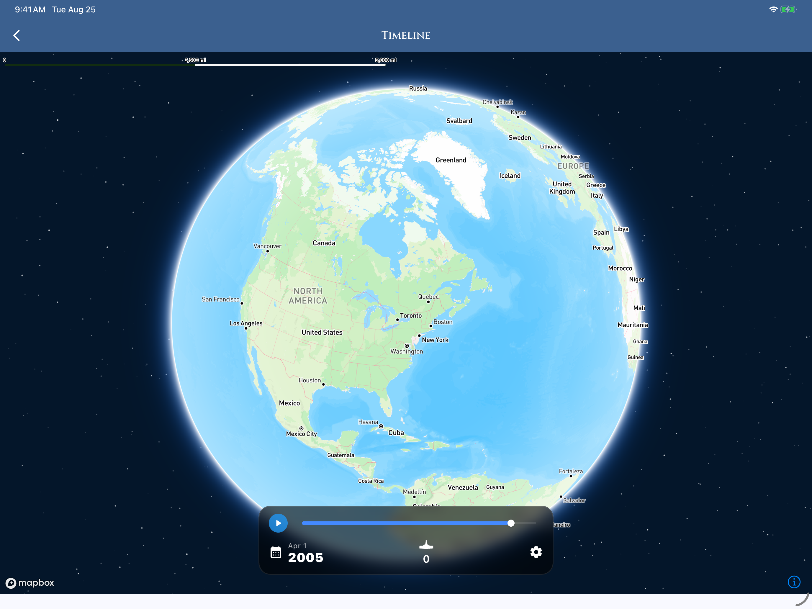
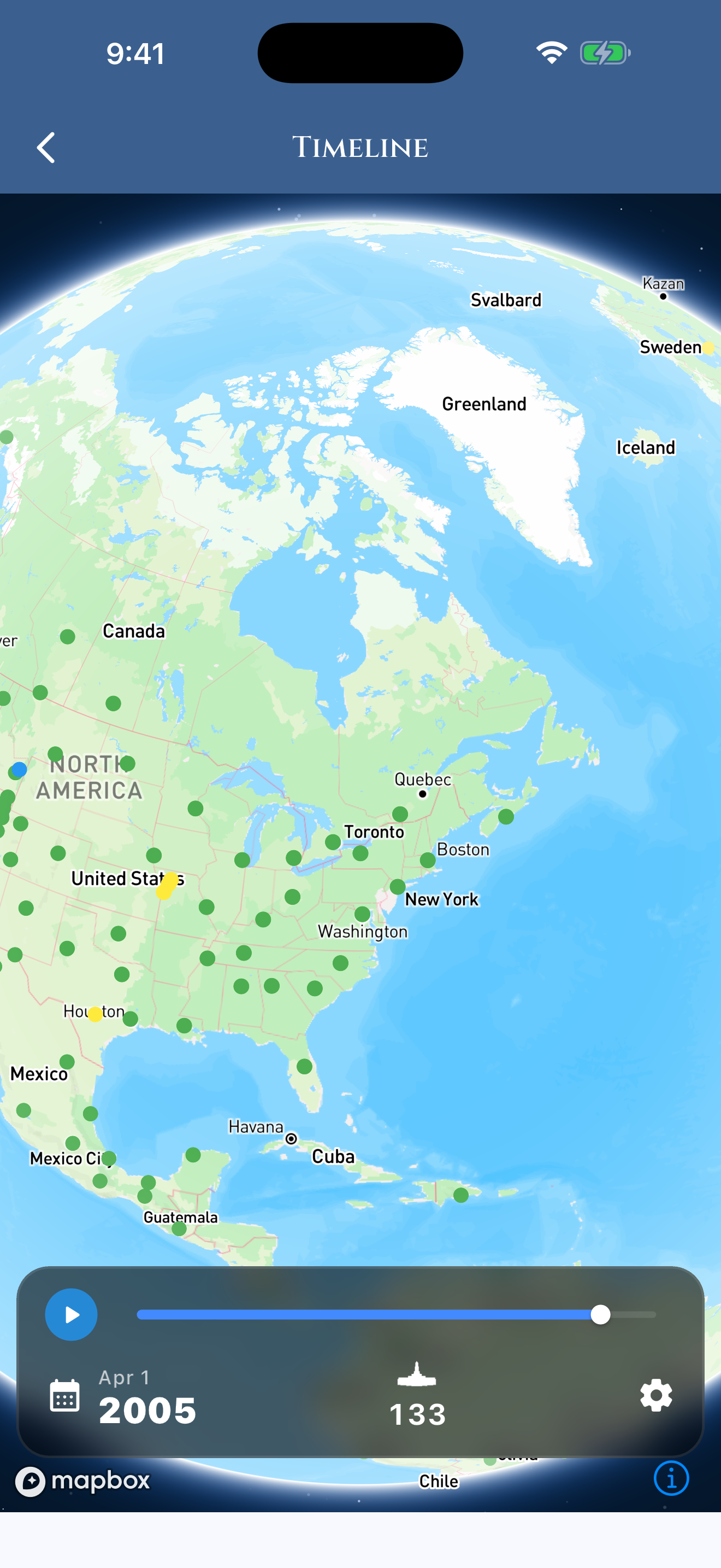
Animated Timeline
This will let you play and pause the flow of time and watch as temples spread across the Earth. Want to watch as temples are announced, start construction, or are dedicated sequentially on a map? You can also enter any day and see how many temples dotted the earth on that day historically.
Interactive Charts & Analytics
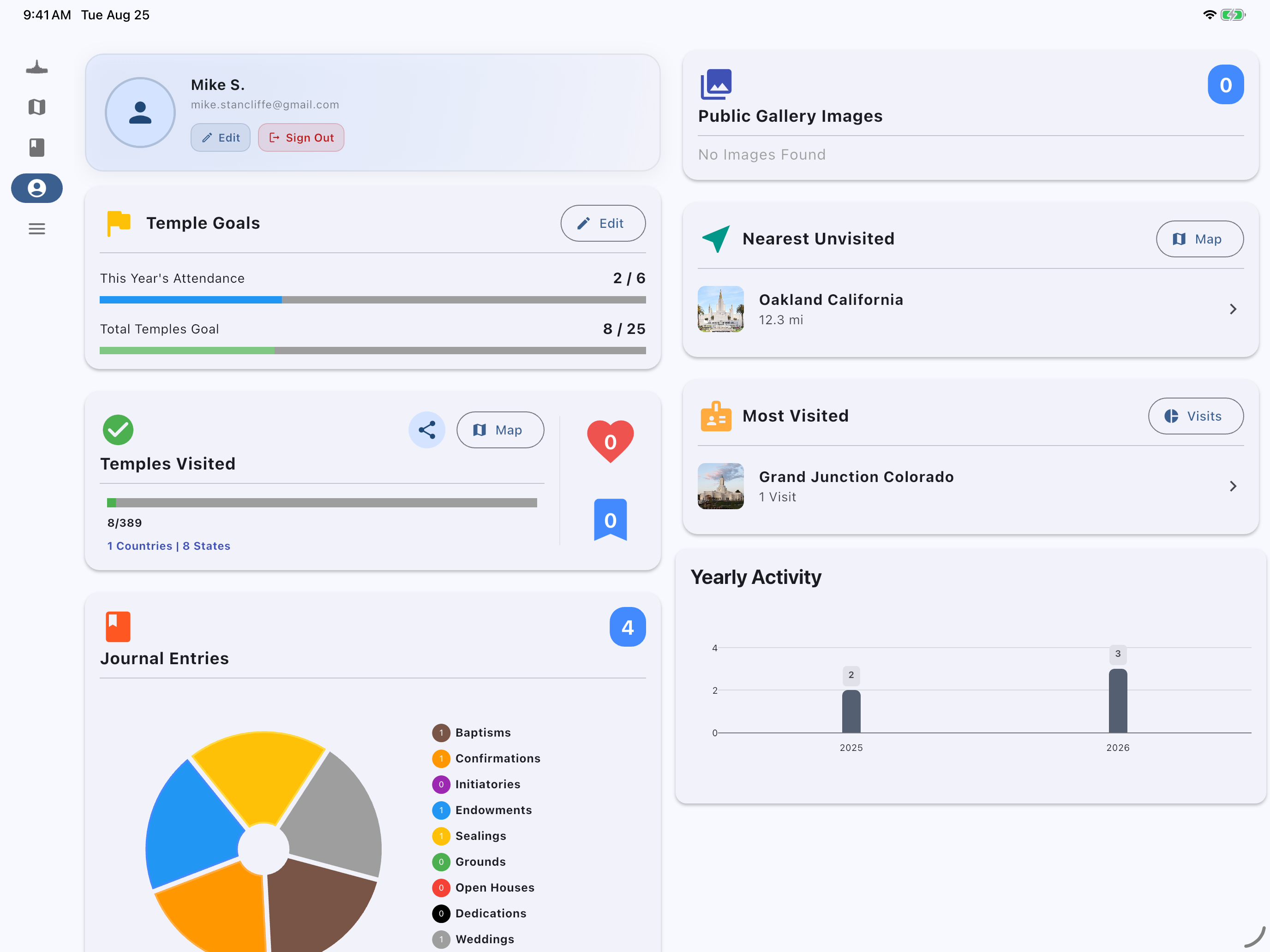
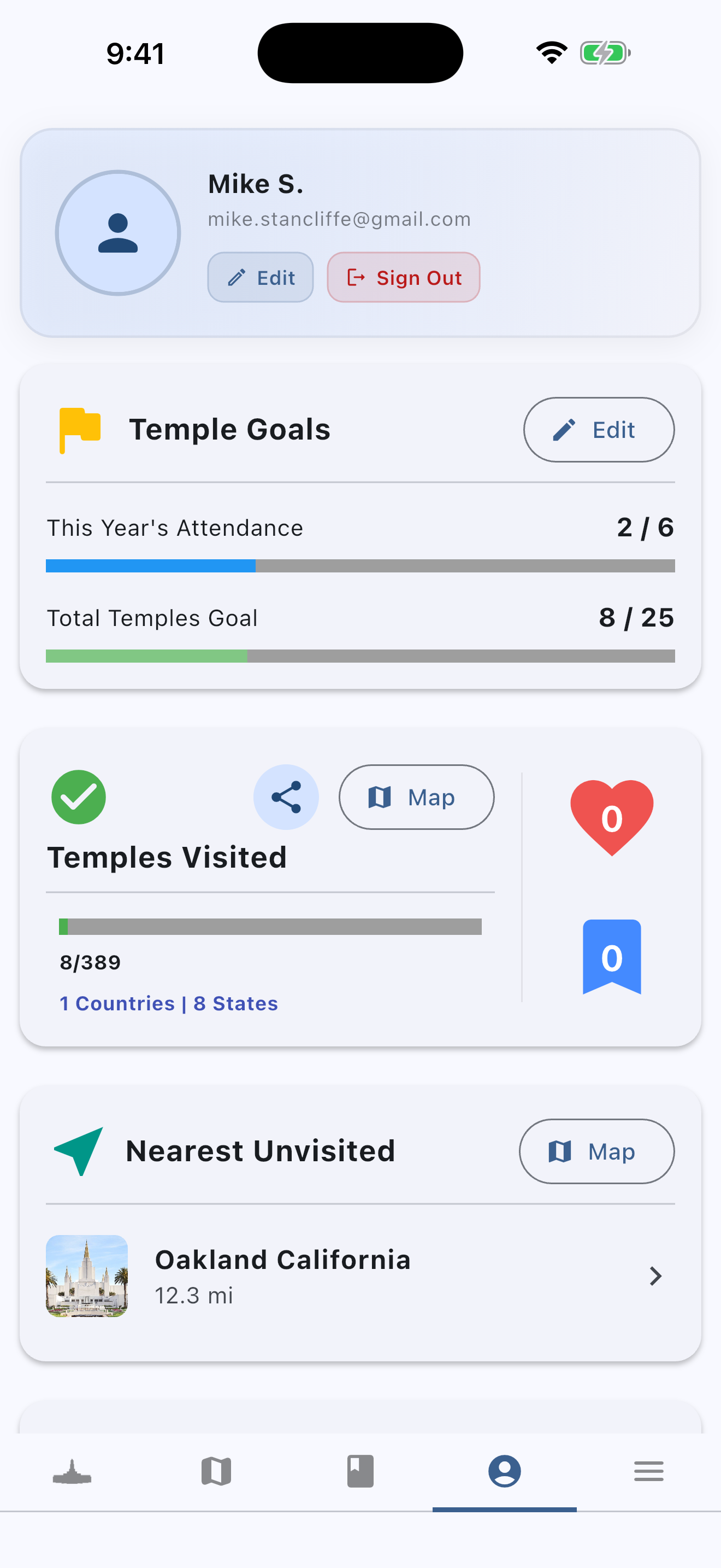
Explore rich, interactive data visualizations. Track your personal temple visits with monthly and yearly activity graphs, analyze your ordinance sources (Family vs. Temple file), and view historical temple milestones from 1830 to today.
Journal
Want to remember each time you visit the temple or make a few notes about impressions you have received? Keep them all here along with which temple you were at.
Educational Game
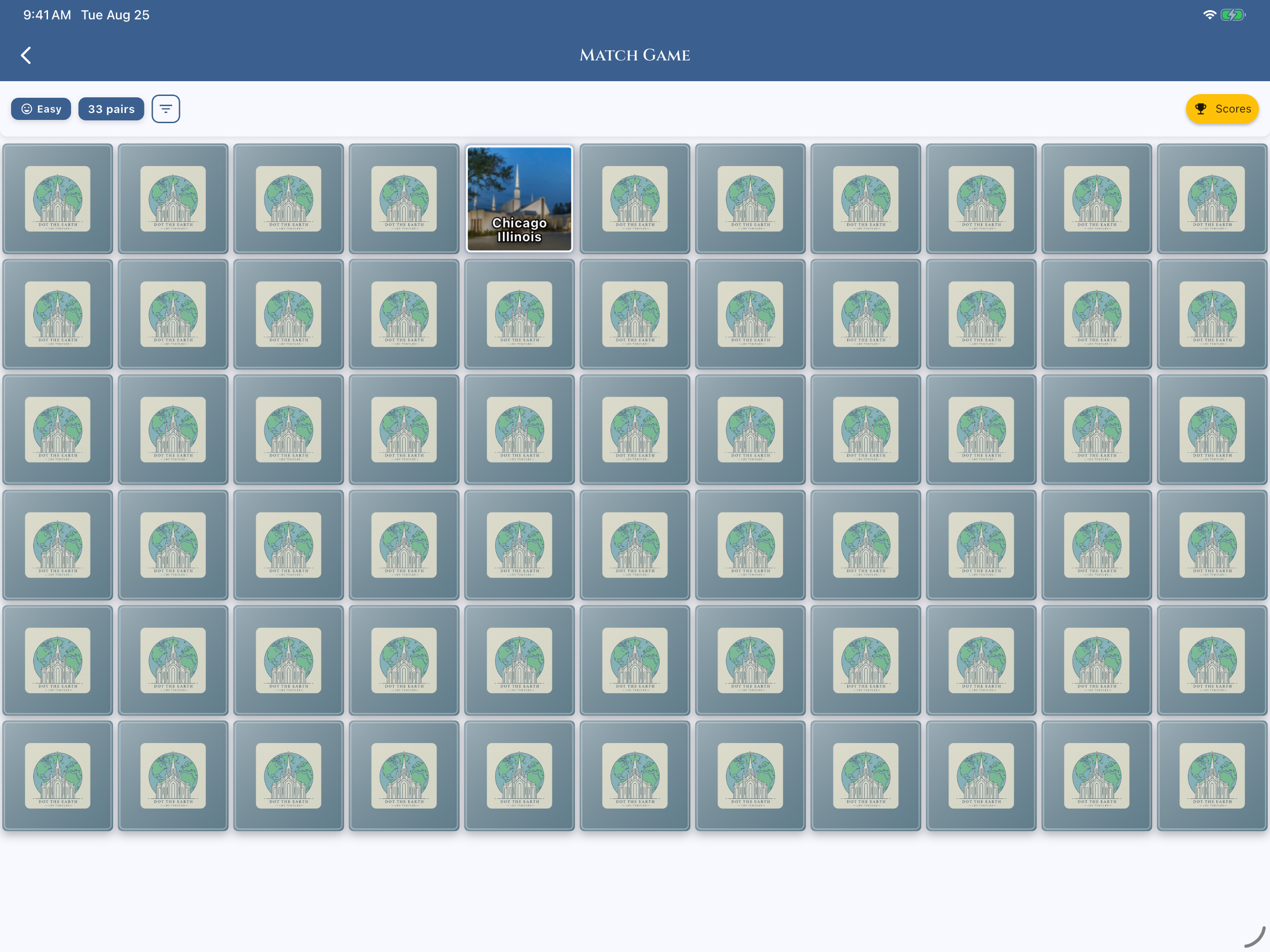
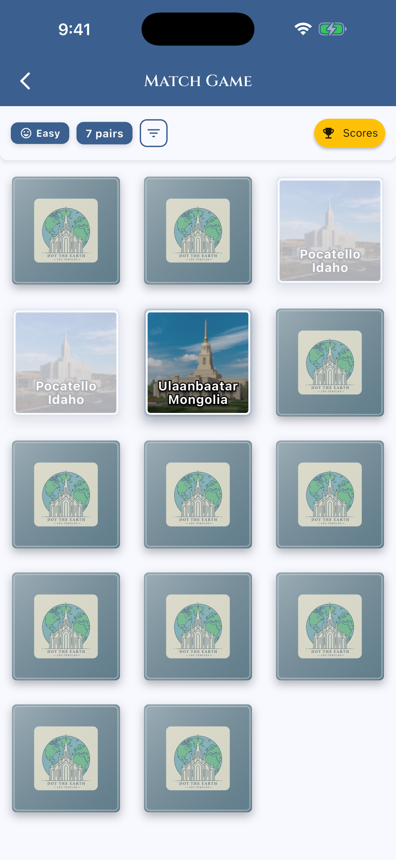
Test your knowledge with an interactive game. Learn about temple history, architecture, and facts in a fun and engaging way.
Localization
Dot the Earth is available in multiple languages including English, Spanish, Filipino, French, German, and Portuguese, making it accessible to a global audience.

Frequently Asked Questions
Where can I find an interactive LDS temple map?
Dot the Earth provides a comprehensive, interactive LDS temple map available on iOS, Android, and web. It features all dedicated, under-construction, and announced temples of The Church of Jesus Christ of Latter-day Saints, complete with real-time distance calculations, directions, visit tracking, and historical milestones.
How do I track my LDS temple visits and ordinances with Dot the Earth?
In Dot the Earth, simply select any temple in the List or Map view. You can record your visit dates, write personal journal notes and reflections, and log ordinance work (Family file vs. Temple file). Your statistics automatically update with monthly and yearly charts.
How does the animated temple timeline work?
The animated timeline lets you visualize the worldwide growth of temples from 1830 to today. You can play, pause, or choose any specific year to see how many temples dotted the earth and where new announcements occurred.
Can I calculate distance and find nearby temples while traveling?
Yes! The interactive map automatically computes distances from your current location. In addition, the Camera View provides an augmented reality experience showing which direction nearby temples are situated and how far away they are.
What educational temple games are included in the app?
Dot the Earth includes four fun learning games: Temple Picture Matching, LDS Temple Trivia Quizzes, Slide Puzzles, and Pin-the-Temple Map Challenges—perfect for family home evenings, youth activities, and personal learning.
Is Dot the Earth available in multiple languages?
Yes! The app and website are fully localized in six languages: English, Spanish (Español), Filipino/Tagalog, French (Français), German (Deutsch), and Portuguese (Português).
Still have a question or looking for support?
Follow this link to go to our support form and let us help you get what you need.